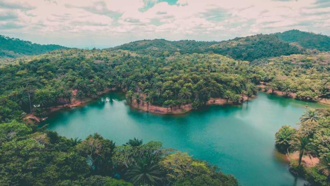

Iringa Region is one of Tanzania's 31 administrative regions. The region covers an area of 35,503 km². The region is comparable in size to the combined land area of the nation state of Guinea Bissau. Iringa Region is bordered to the east by Morogoro Region and south by Njombe Region. The region is also known for its numerous kopjes, or castle kopjes, as well as its inclusion within the eastern portion of the Great Rift Valley. Rivers like the Little Ruaha and Great Ruaha also contribute to the landscape. Iringa is steeped in rich cultural heritage, providing a fascinating window into the traditions and way of life of the local tribes.
What is so special about Iringa?
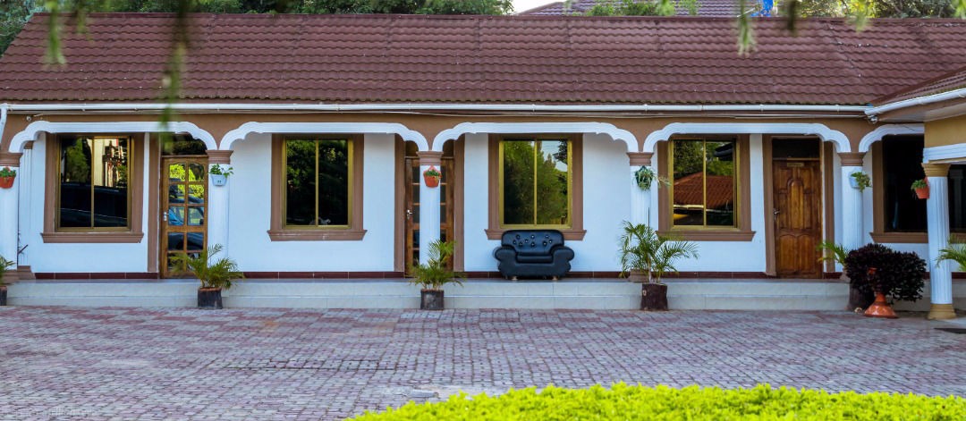
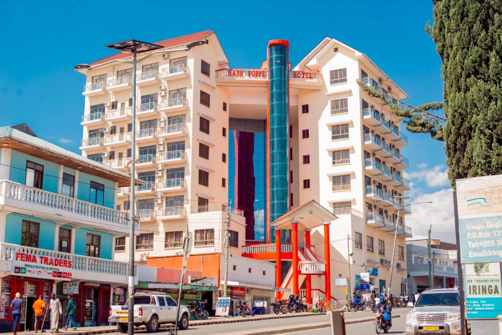
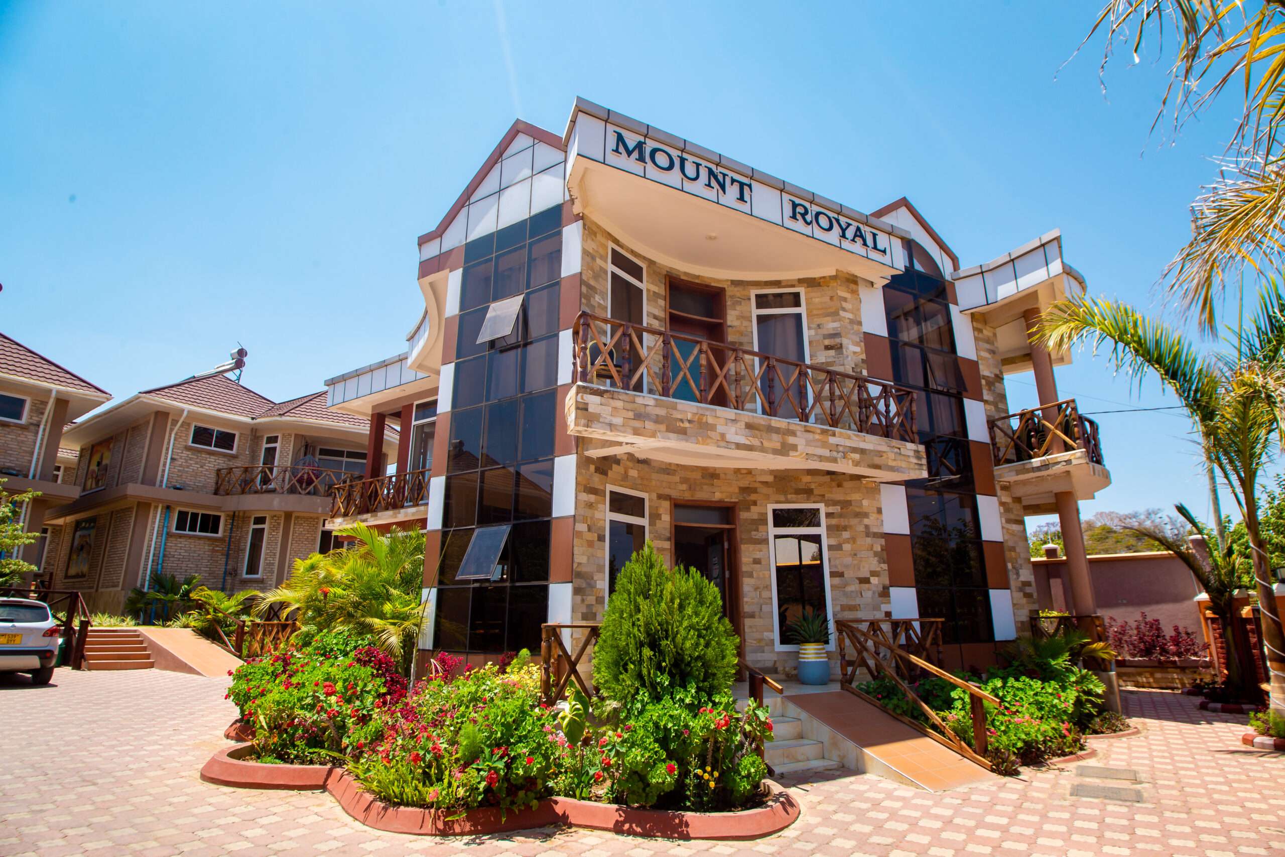
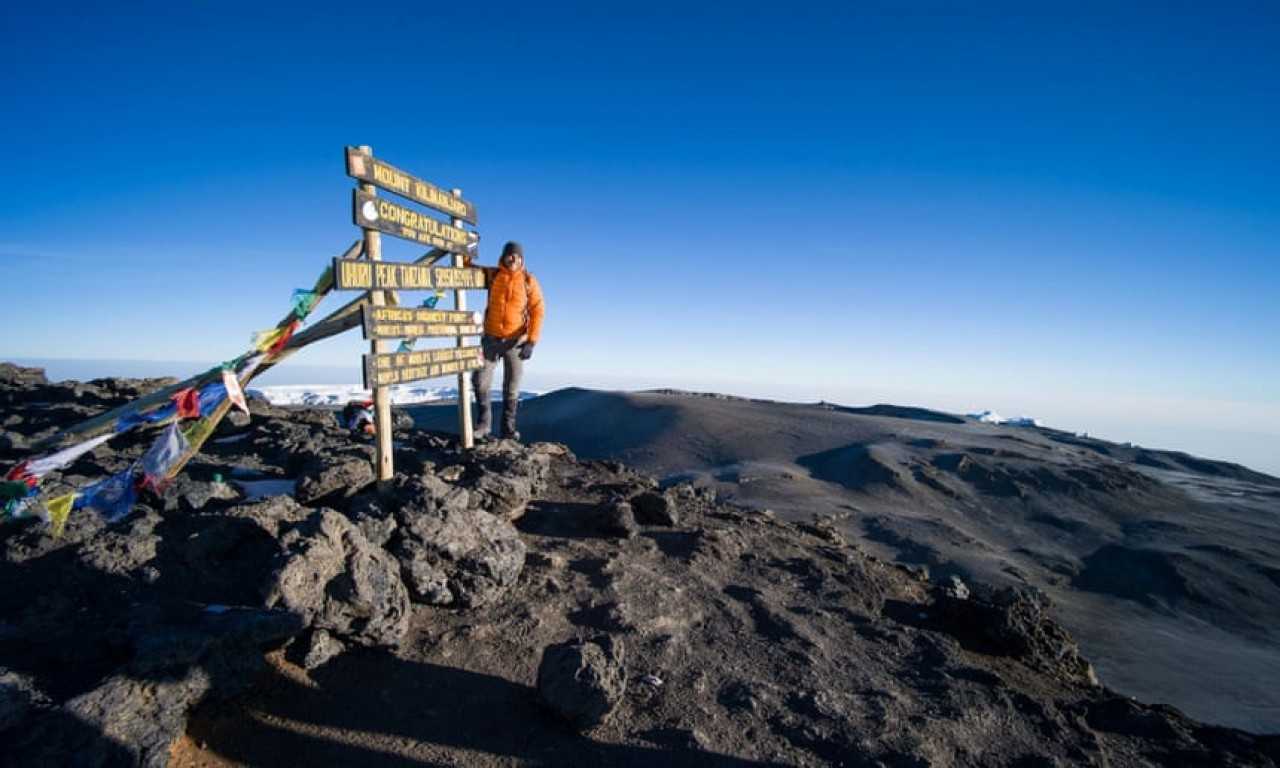
Iringa is renowned for its rich historical and cultural heritage and beautiful landscapes. It is a gateway to several of Tanzania's top attractions. The town holds great historical significance and is home to the Isimila Stone Age Site, which features ancient tools and fossils.
What to do in Iringa?
- Isimila Stone Age Site.
- Iringa Boma - Regional Museum and Cultural Centre.
- Ligereke Rock Paintings.
- Gangilonga Rock.
- Iring eco cultural tourism. Hiking Trails.
Which tribe is found in Iringa?
Hehe people are the largest ethnic group living in the region. Other major populations are those of Bena and Kinga groups. Pangwa, Chaga, Nyakyusa and Ngoni can be found in urban areas primarily engaged in business in the region.
Iringa Safari Tours
Browse our full tour catalog or request a custom itinerary.
Best Time to Visit Iringa
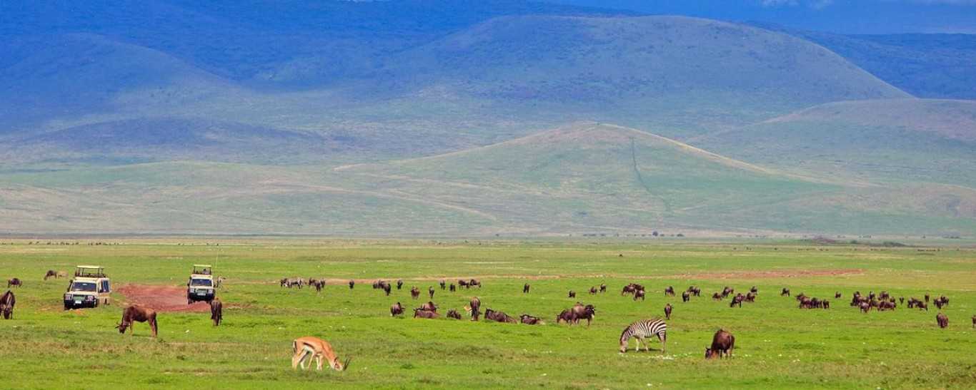
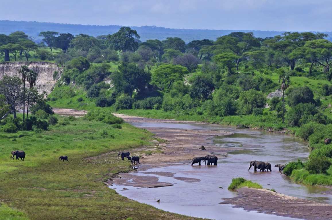
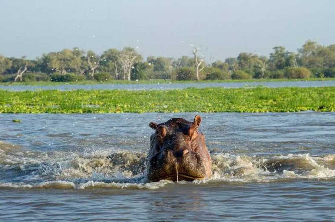
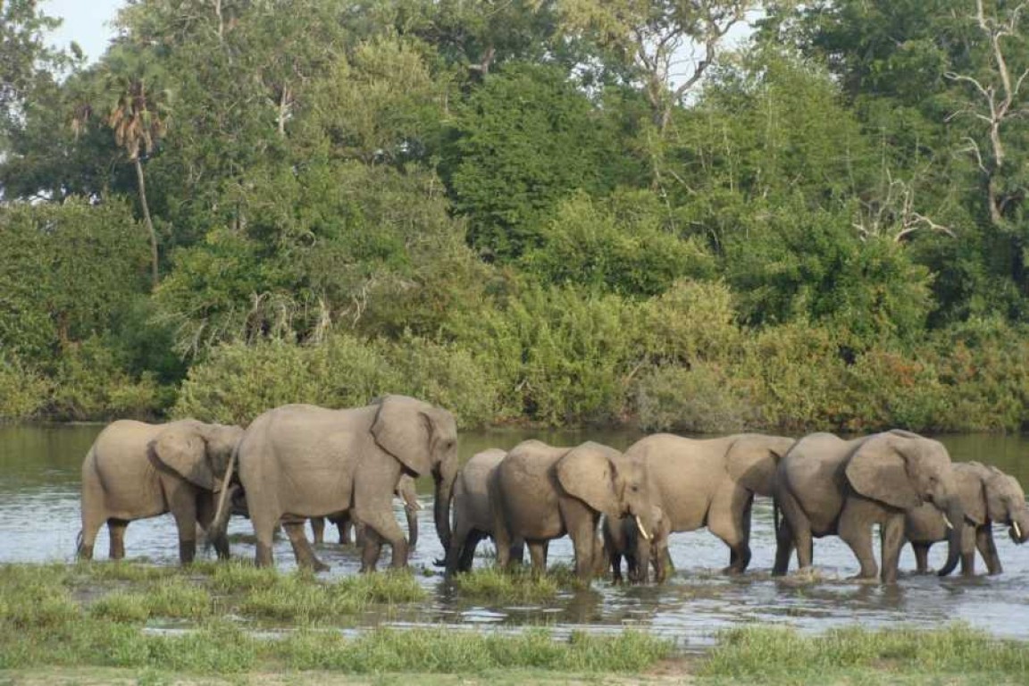
The optimal time for visiting Iringa is typically during the dry season, from June through October. This period presents moderate temperatures and less rainfall, and the wildlife in Ruaha National Park tends to be more visible as they congregate around available water sources.